Search Term Record
Metadata
Name |
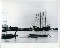
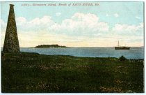
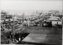
Saco Bay |
Number of Archive records |
0 |
Number of Library records |
0 |
Number of Object records |
3 |
Number of Photo records |
24 |
Related Records
-
-
-
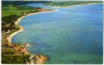
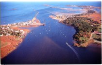
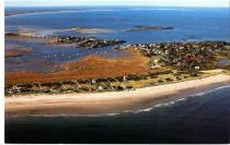
Airview of Hill's Beach shoreline and mouth of Saco River - pcBID.POO.022
Postcard
Record Type: Photo
-
-
-
-
-

-
-
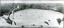
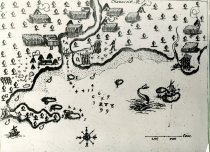
Chouacoit River; page from Champlain's Voyages in America (1613). - 0711
Print, Photographic
Record Type: Photo
-
-
-
-
-
-
-

-
-
-